Rossland Map Preservation & Digitization
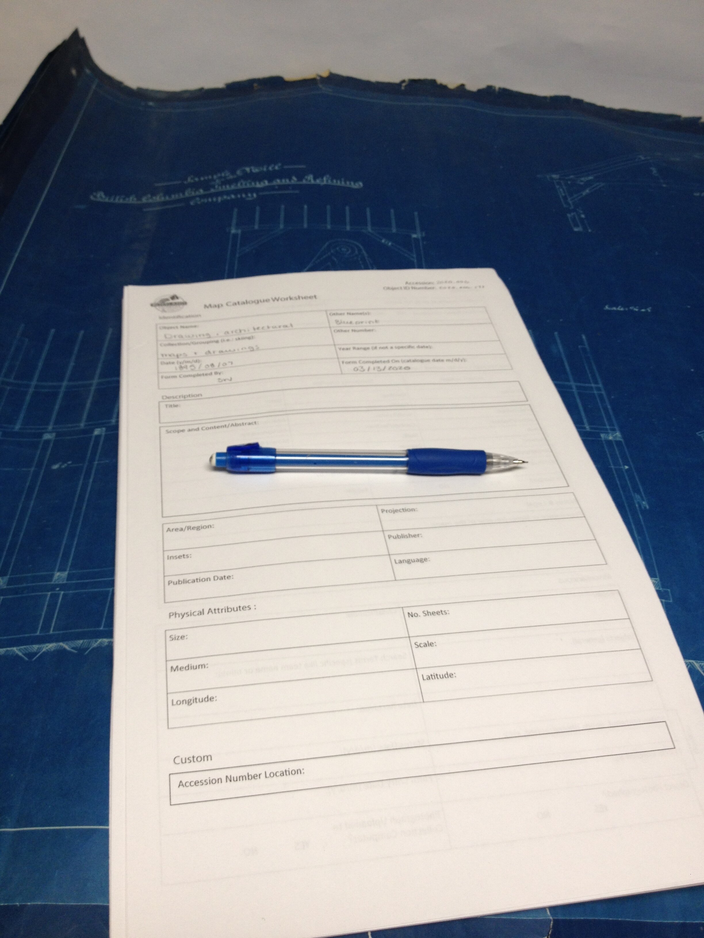
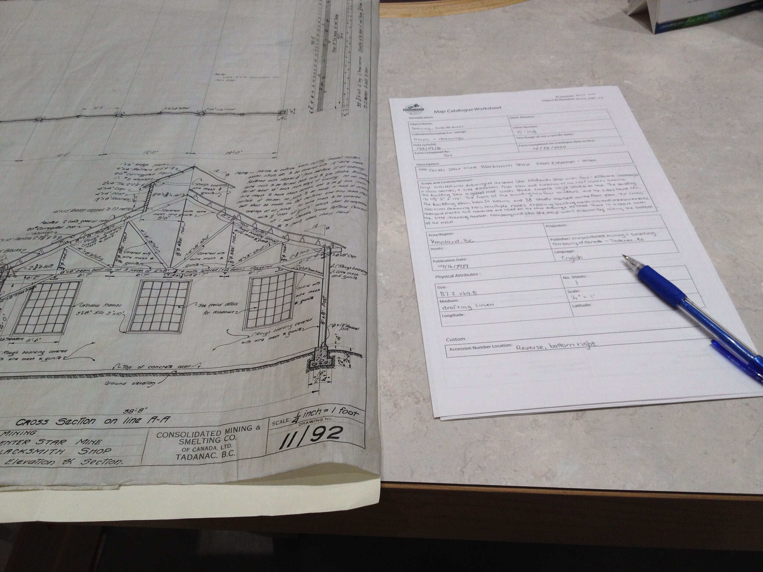
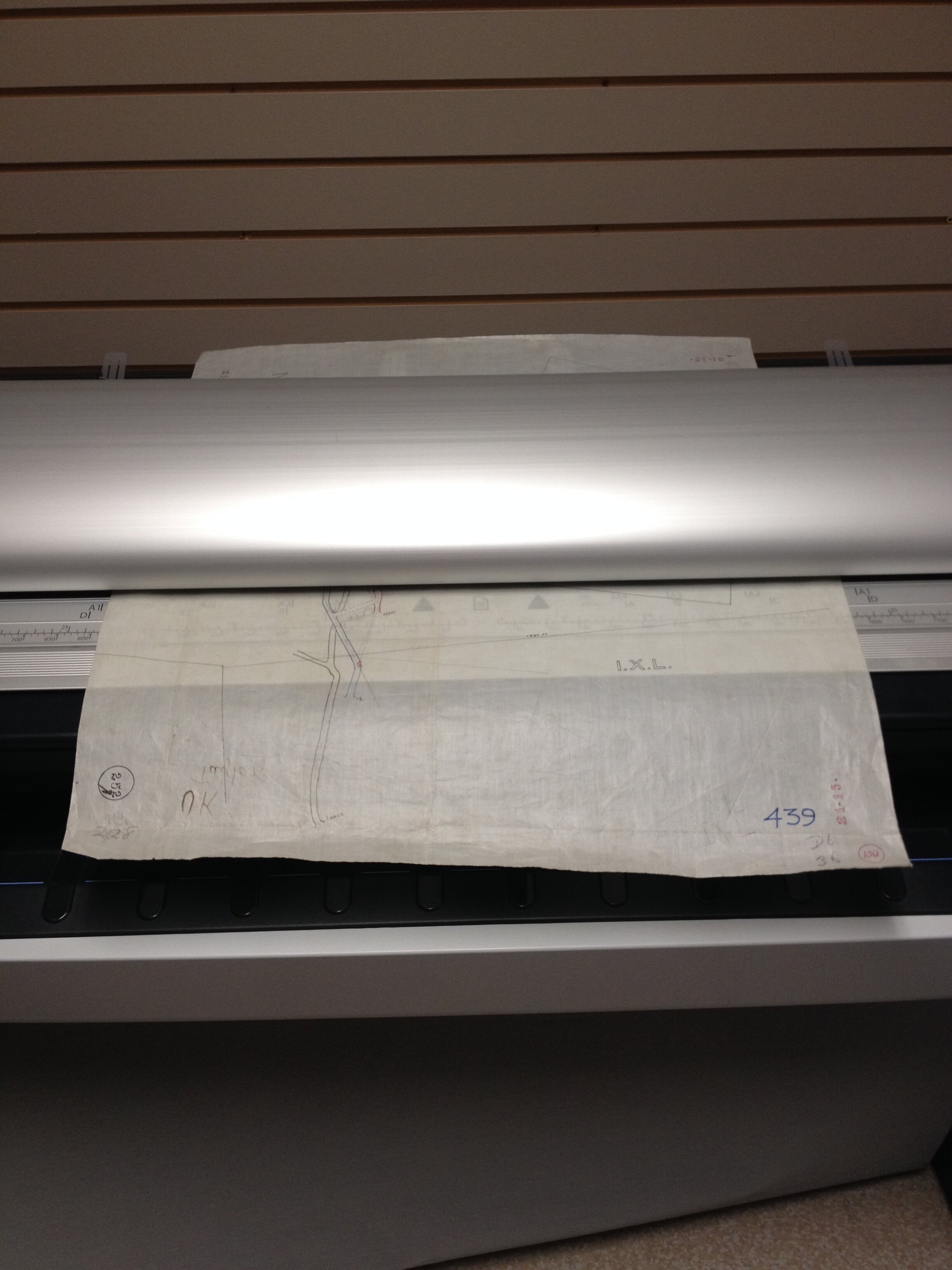
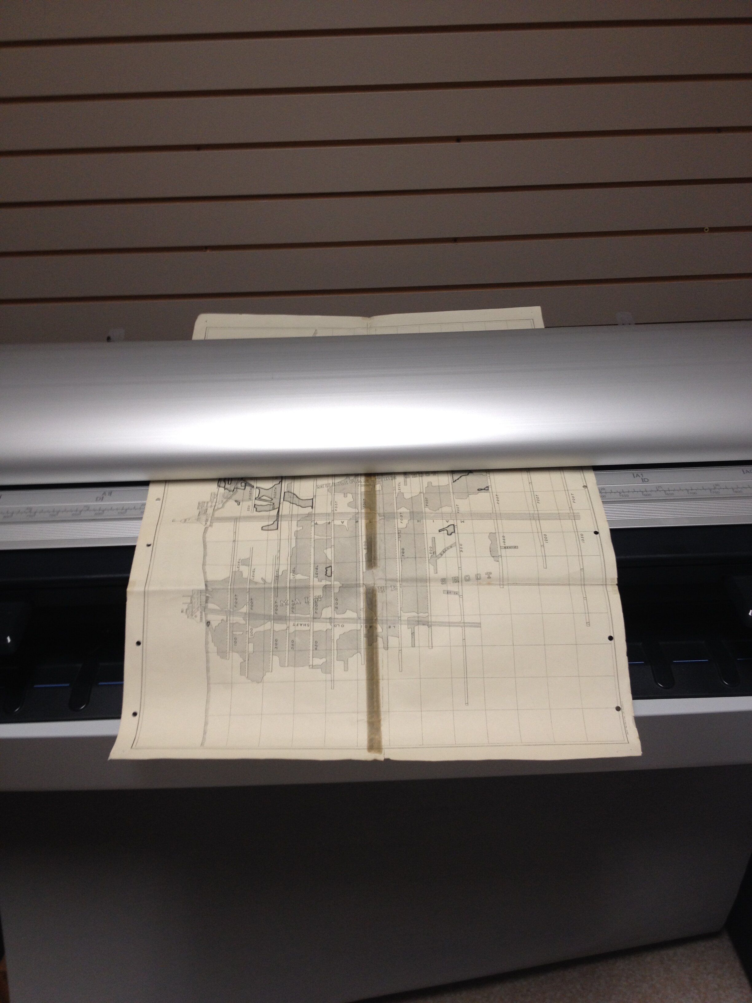
Over the last year, we have been working on re-housing, flattening/encapsulating, and digitizing our map collection!
As we progress in the digitization, we have been including the newly catalogued collection in our new collection database, which will be accessible online within the next year. We can’t wait to show you our collection!
Our map and drawing collection consists of railway maps, property maps, mine claims and workings, skiing/hiking trails, architectural drawings, and more.
Here are some digitized samples:

Hiking trail map for Old Glory from 1932
2020.000.27

Rossland Railway Map
2020.000.261
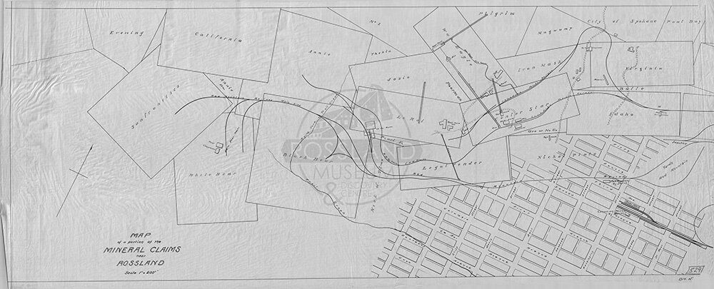
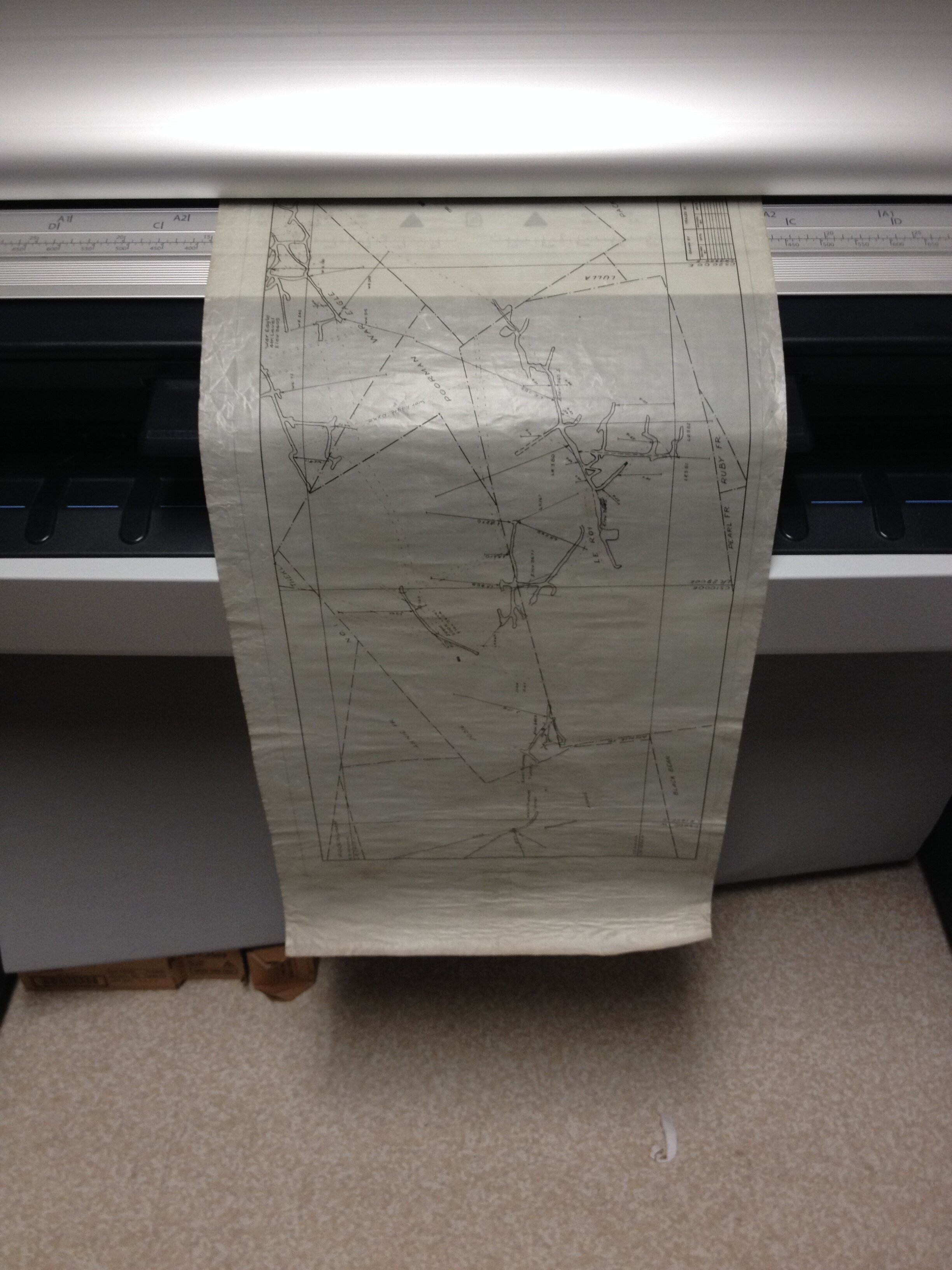
Rossland Mineral Claim Map
2020.000.94
The map digitization project has been made possible in part by the Government of Canada’s Documentary Heritage Communities Program through Library and Archives Canada, the Young Canada Works and Canada Summer Jobs programs, a co-op student grant from the UBC Faculty of Arts’s SLIAS program, as well as the many (!) hours of volunteer work and the support of local partners, including ISL Engineering and Land Services and the City of Rossland.